Switzerland July 2026
Swiss Alps: Backroads Hiking Tour
The Alps: Historical Geology
iphone 16
Click on images below for larger
images
Trip Outline:
Flew into Zurich
Day 1: Meet at Interlakin. Shuttle to Adelboden where we stayed
at the Cambrian. Hiking: Adelboden Valley, Wildflower Trail. 4.2
miles, 500 foot elevation gain
Day 2: Shuttle to Kandersteg, Hiking: Gemmi pass, 6.9 miles, 1900
foot elevation gain, Gondola to Leukobad where we stayed for two
days at the Hotel Quellenhof.
Day 3: Hiking: 7.7 miles, 2200 foot elevation gain. Hike in the
Dala Valley and then up to Fluealp, a local cheese maker in the
mountains where we had a demonstration of classic Swiss cheese
making and a picnic lunch. Back to Leukobad
Day 4: Bus and Train to Zermatt. Hikes to Zmutt valley, Scharzsee,
4.7 miles, 3200 foot elevation gain. Stayed at Grand Hotel Zermatterhof
for two days
Day 5: Hiking: to the top of Gornergrat, 6.3 miles, 3500 foot
elevation gain
Day 6: Hiking: Morning hike 2.8 miles, 700 foot elevation gain.
At this point our guided tour ended and James and I stayed in
Zermatt for another 3 days at the Beausite Zermatt, a lovely hotel.
Day 7: We took a train and Gondola to The Matterhorn Glacier Paradise,
Europe’s highest mountain station at 3,883 meters (12,740
feet) on the Klein Matterhorn in Zermatt, Switzerland.
The official Itinerary from backroads below
https://backroads_web.s3.us-east-1.amazonaws.com/travel_planner/SWA-W-HP-R-037-26.pdf
 |
 |
|
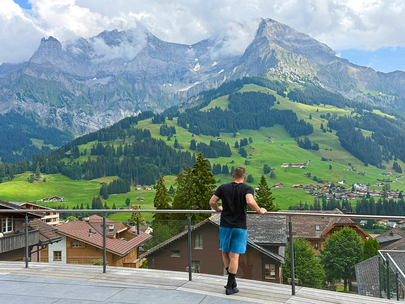
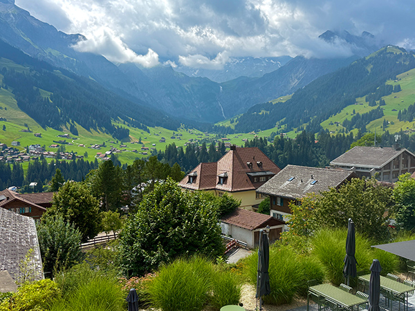
Adelboden our first stop.
We stayed at the Cambrian Hotel for one day. This is the view
from our deck. Click on the image for a Video Tour of the Adelboden
Valley |
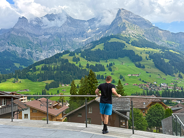
James admiring the view from
the Cambrian Hotel deck |
 |
 |
|
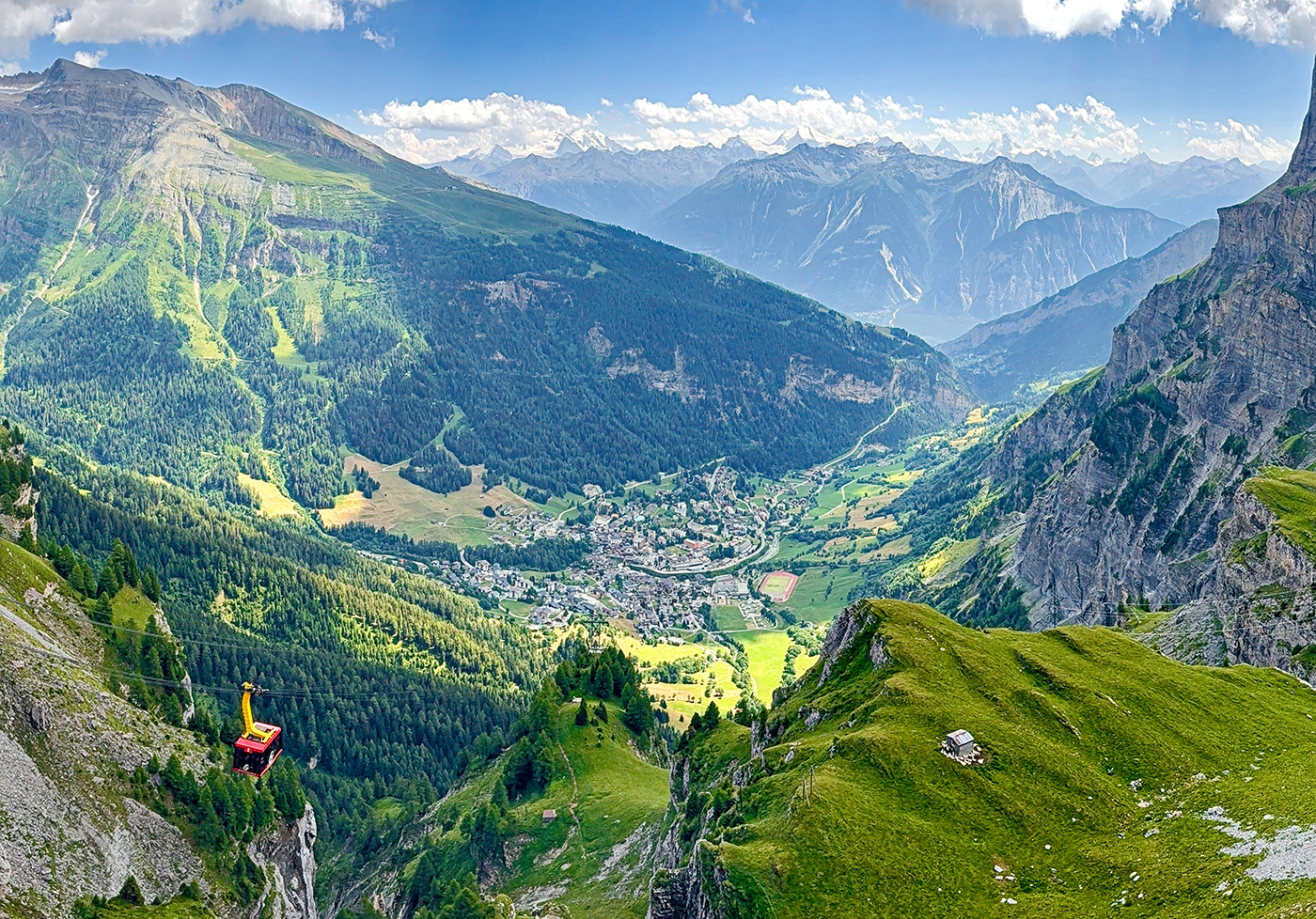
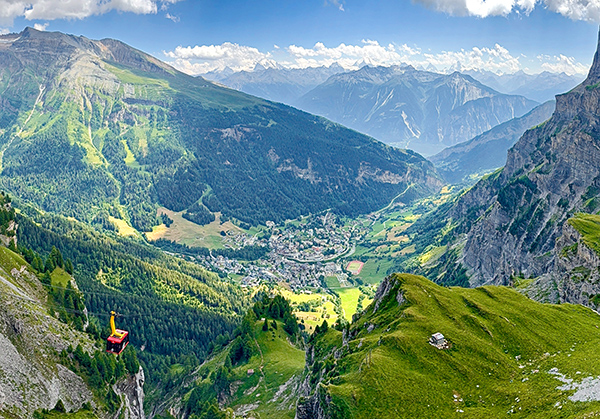
View from the
Gondola to Leukobad where we stayed for two
days at the Hotel Quellenhof |
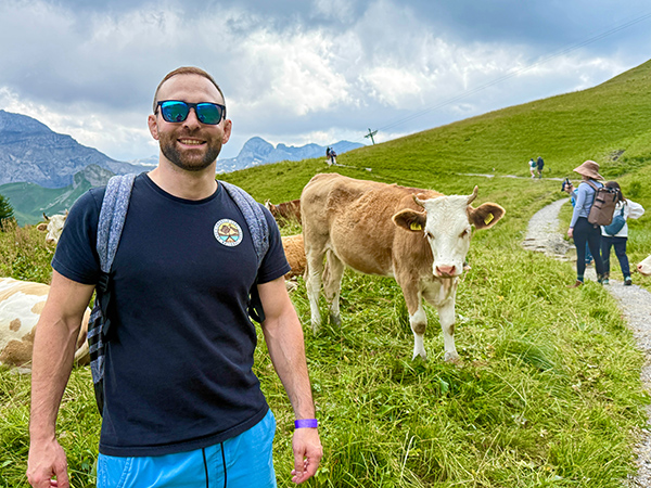
Adelboden Valley, Wildflower
Trail, James posing with the locals, Click on the image for a
Video of our group on the hiking Trail |
 |
 |
|
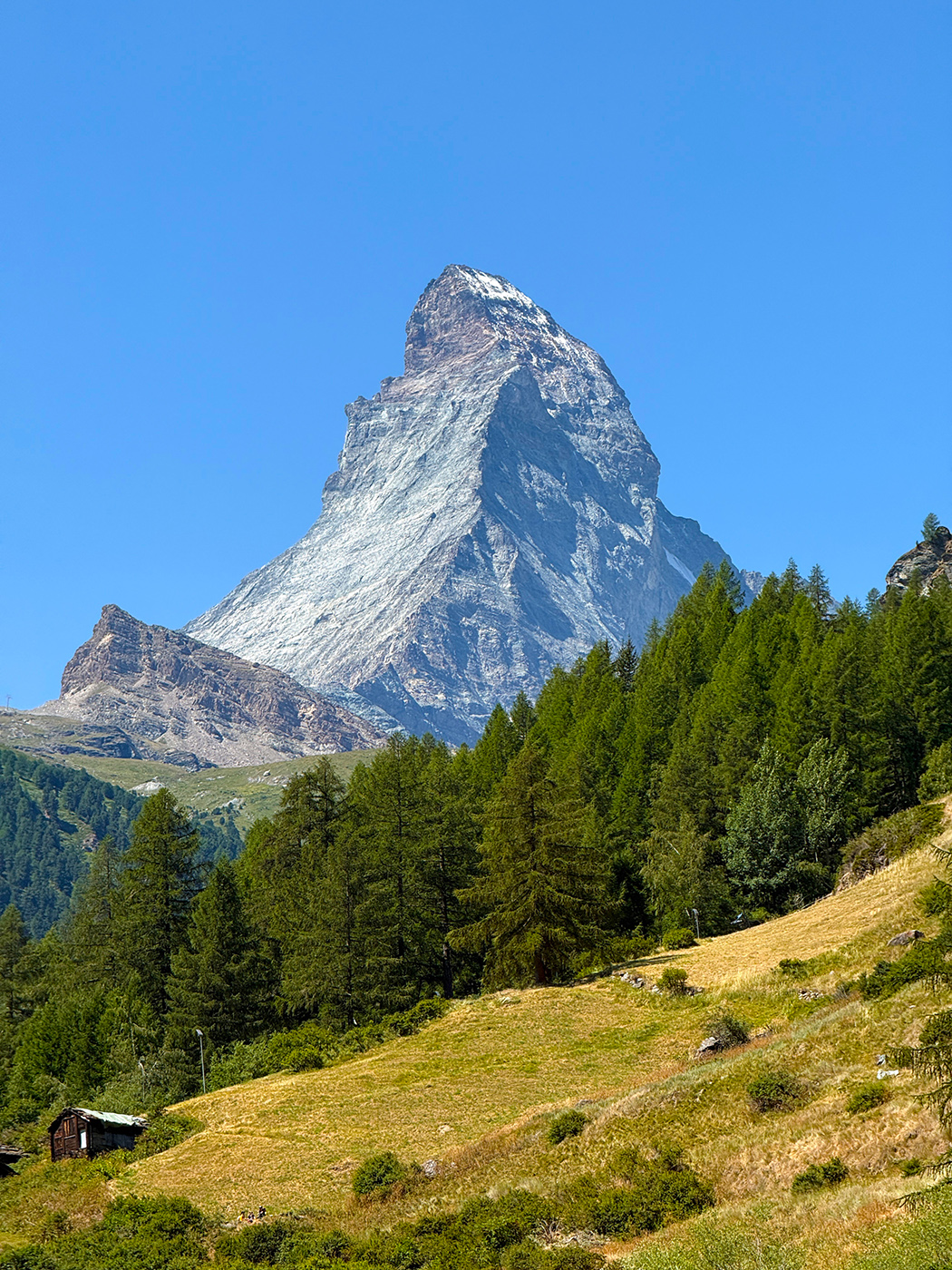
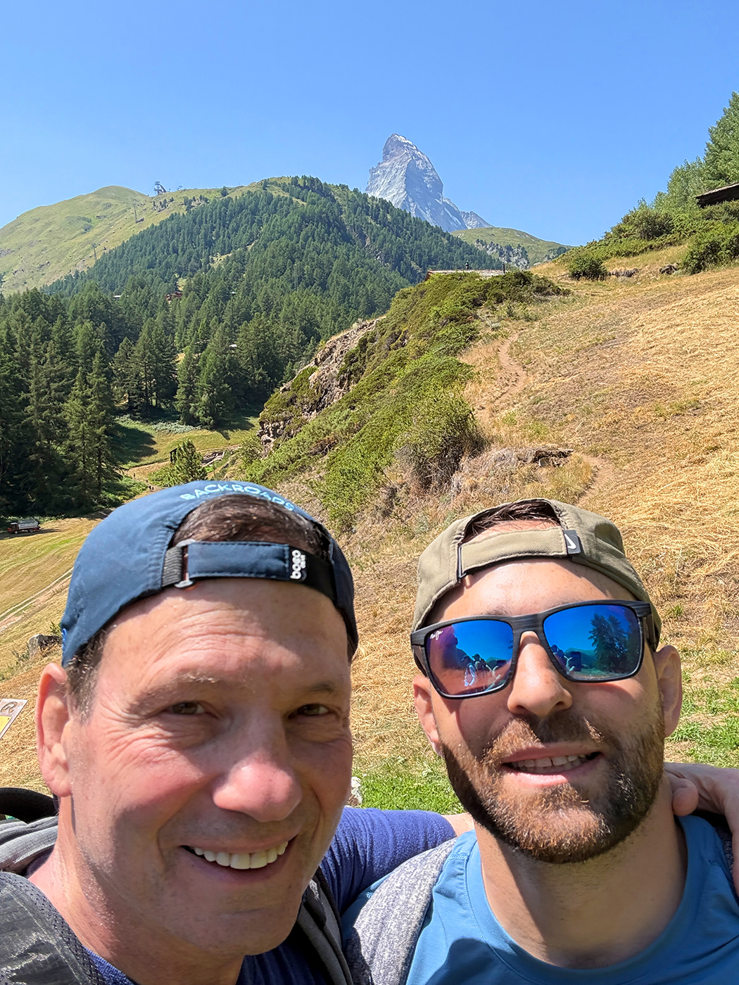
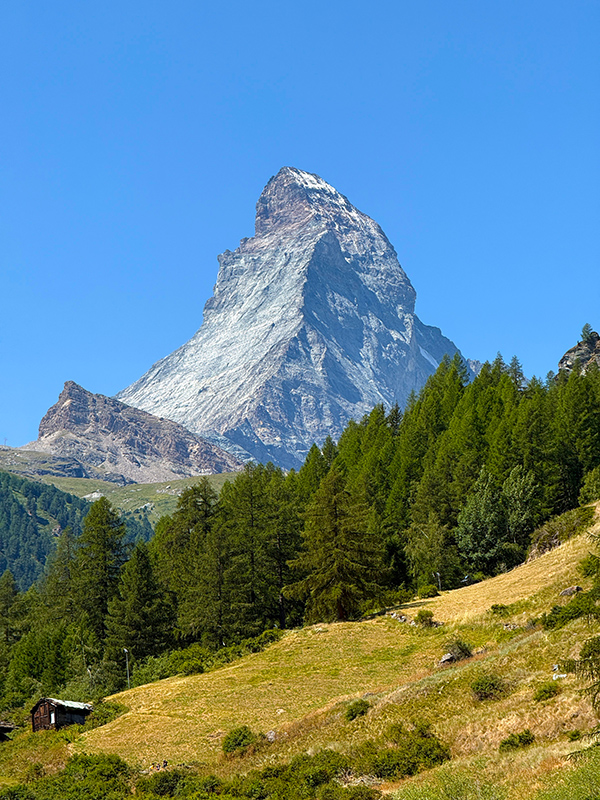
View of the Matterhorn from
Zermatt |
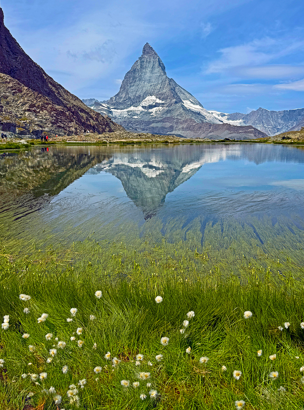
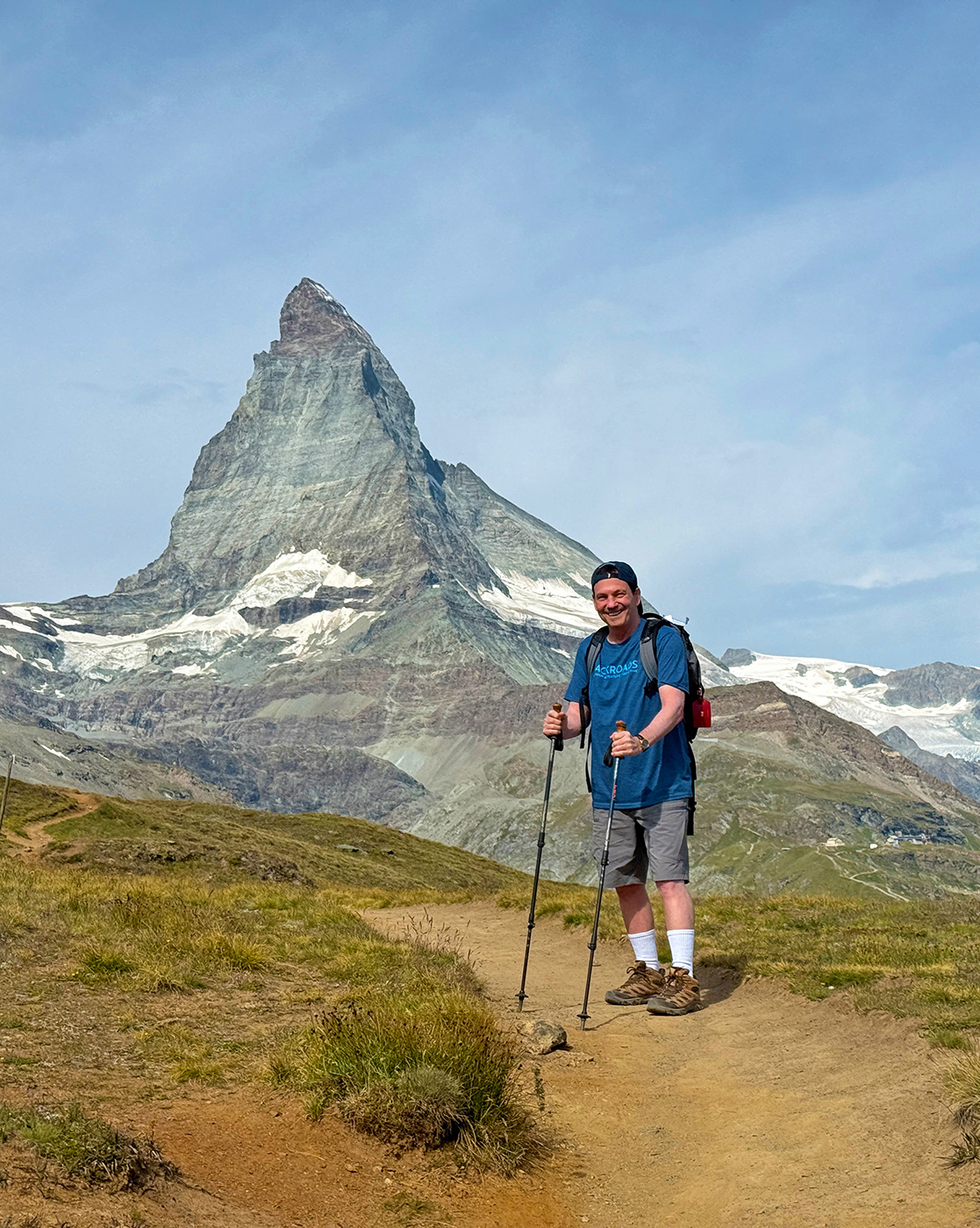
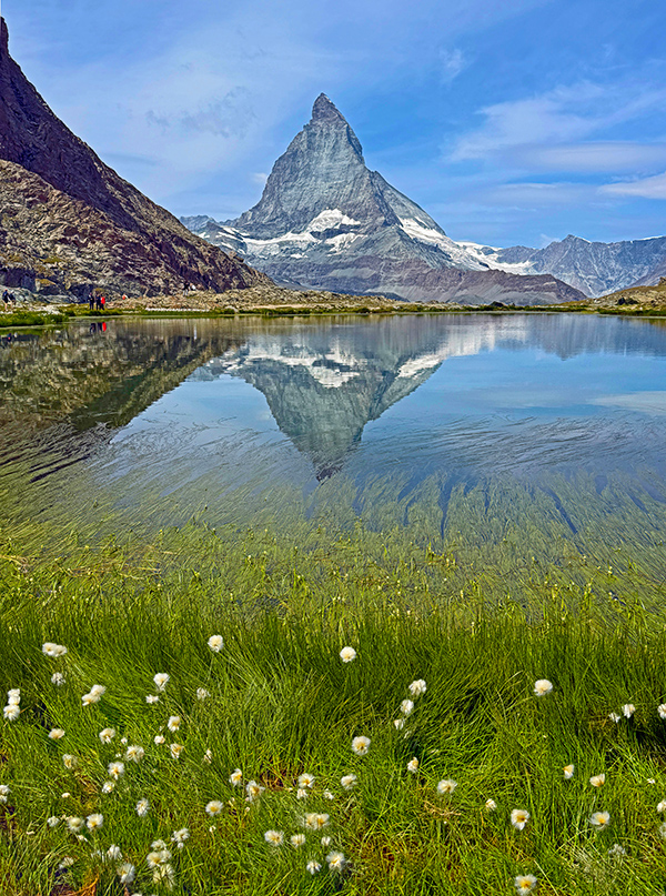
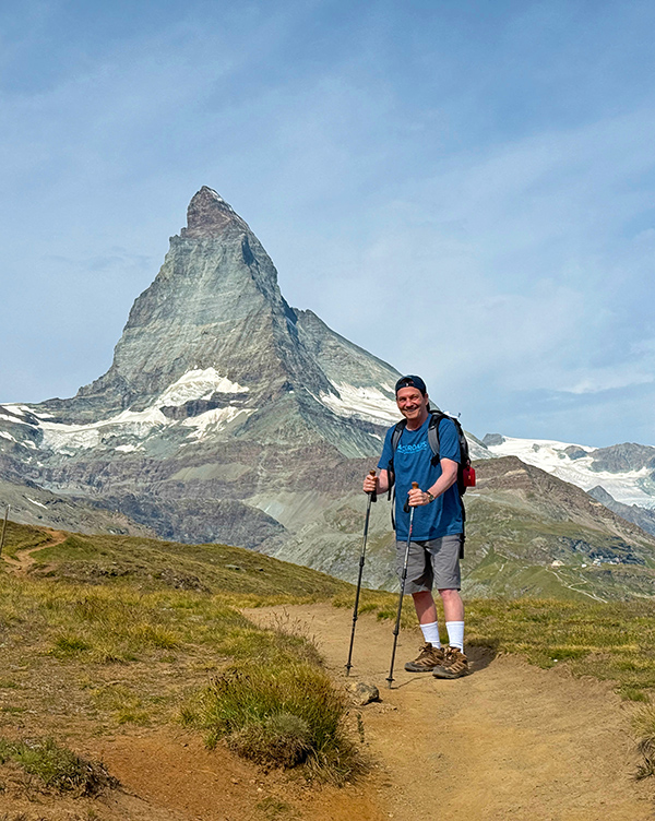
View of the Matterhorn from
Riffelsee Lake |
 |
 |
|
Hiking: to the top of Gornergrat |
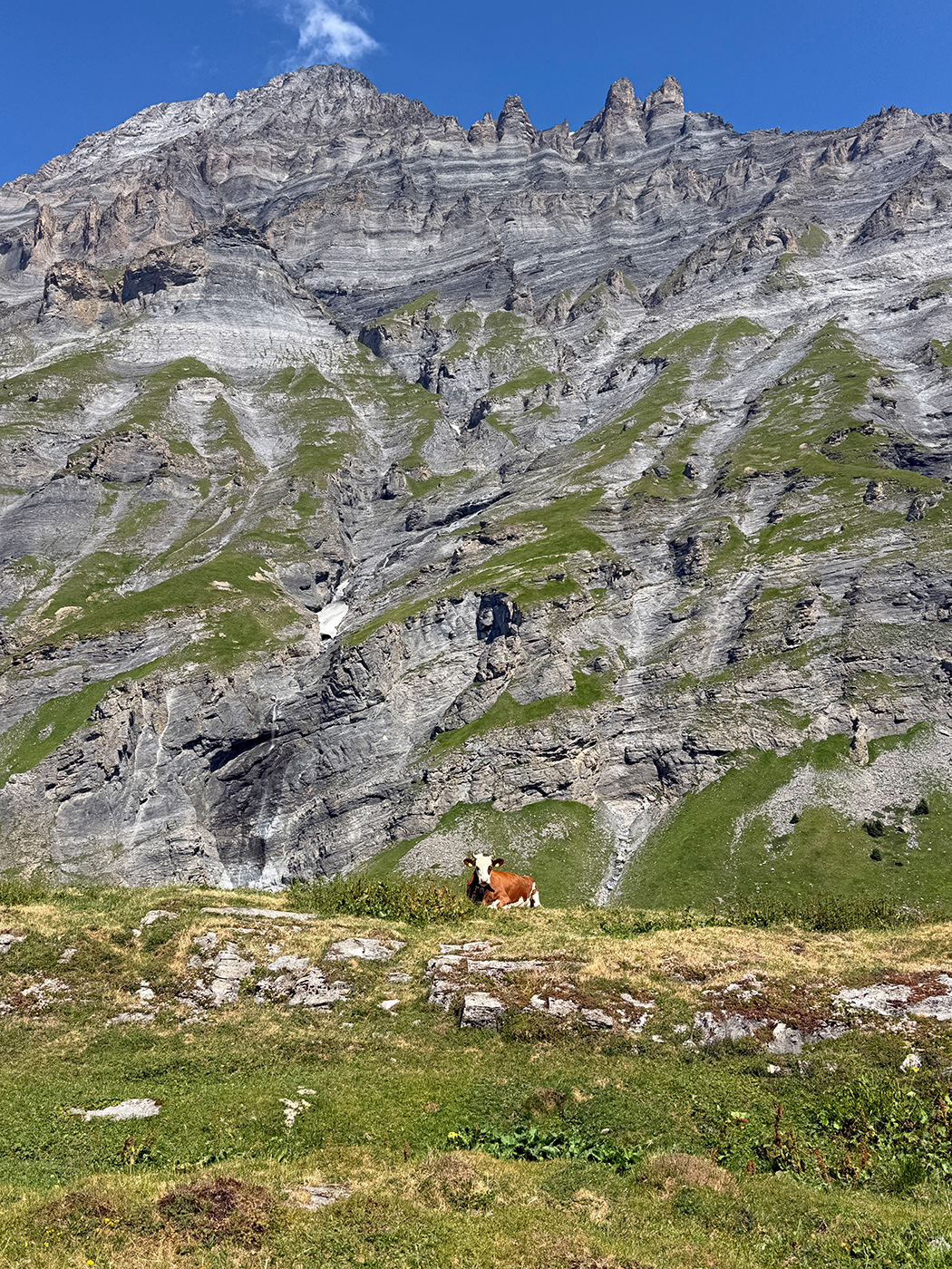
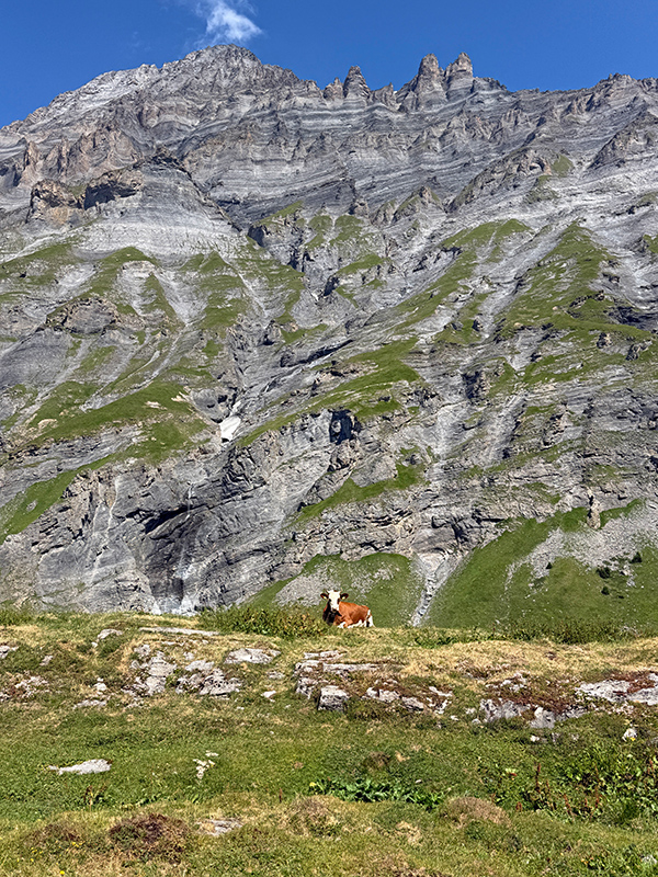
We hiked in the Dala Valley
and then up to Fluealp, a local cheese maker in the mountains
where we had a demonstration of classic Swiss cheese making and
a picnic lunch |
 |
 |
|
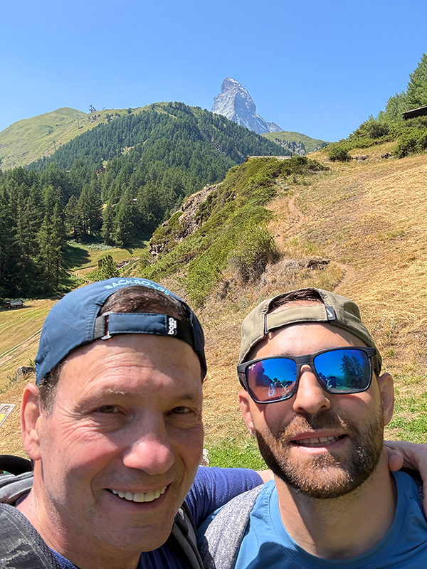
Two Happy Hikers with the
famous Matterhorn in the background |
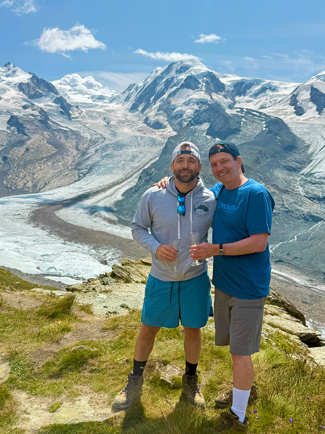
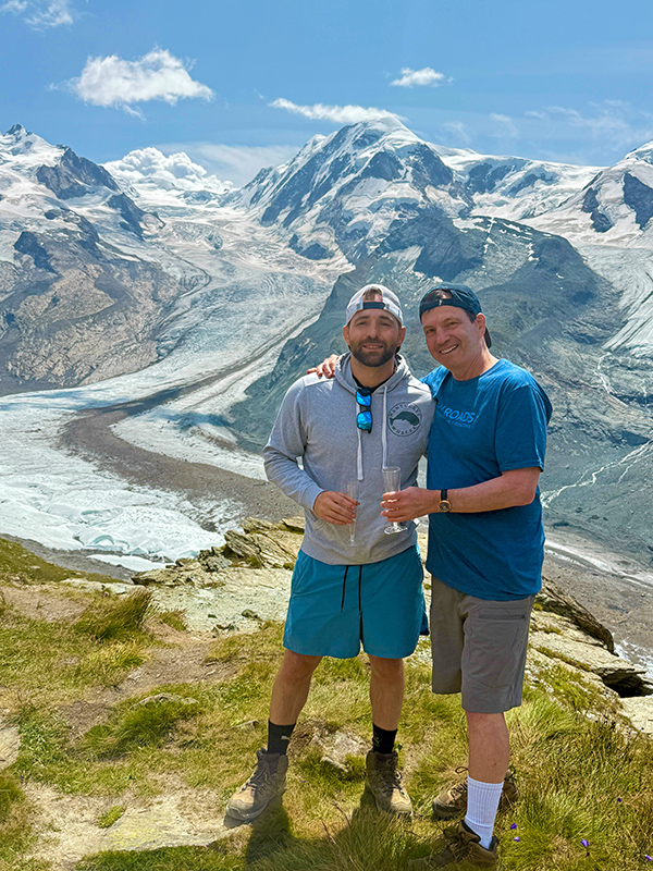
James and I Celebrating our
hike to the Gorner Glacier |
|
|
|
|
|
|
 |
 |
|
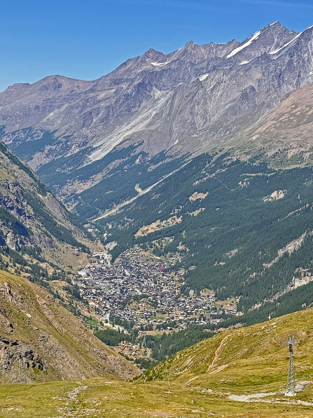
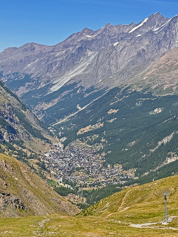
Town of Zermatt, our last stop, as seen from the Gondola,
returning from the Gorner Glacier Hike |
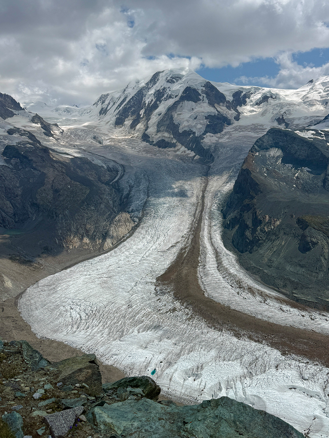
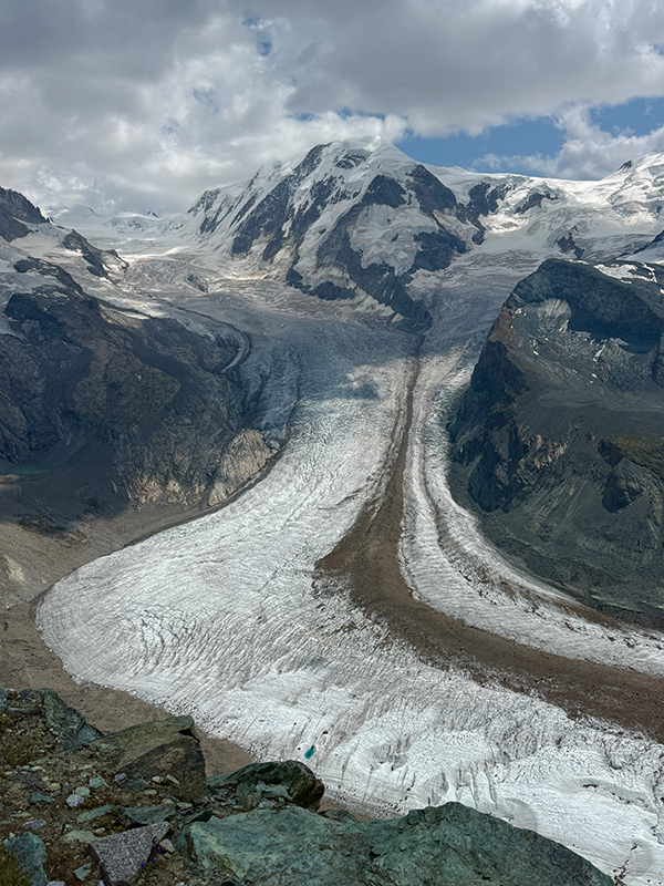
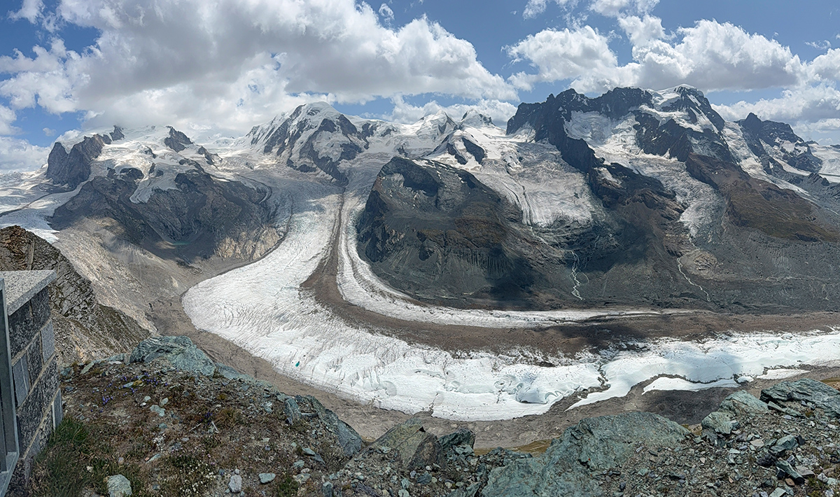
Gorner Glacier is the third-longest
glacier in the Alps, measuring approximately 12.9 kilometers
in length |
|
|
|
|
|
|
 |
|
Gorner Glacier, Click on
the image for a Video Tour of the Glacier |
The Matterhorn Glacier Paradise
The Matterhorn Glacier Paradise
sits atop the Klein Matterhorn at 3,883 meters (12,740 feet) near
Zermatt, Switzerland. Its 360-degree viewing platform displays
38 majestic 4000- meter Alpine peaks and 16 glaciers across Switzerland,
Italy, and France. Visitors can explore the illuminated ice sculptures
inside the Glacier Palace, carved 15 meters directly inside the
glacier ice sheet. It's the highest Glacial lookout in Europe
and the highest place in Europe that can be reached by cable car/
aerial gondola. Both James and I had symptoms of mild altitude
sickness while at the lookout which resolved quickly upon descending.
 |
|
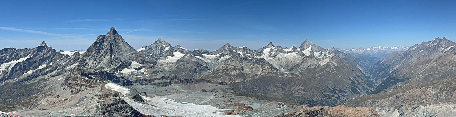
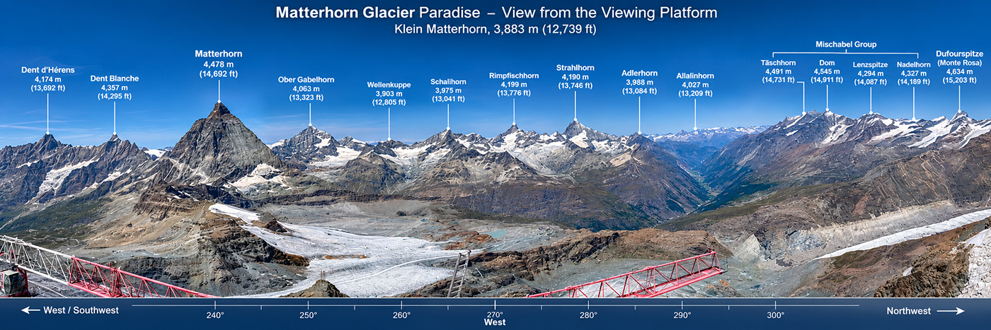
IPhone Pano Image (mine)
recorded from the Matterhorn Glacial Paradise Lookout at 12,749
Feet elevation, capturing many of the 38, 4000 meter peaks and
16 Glaciers. The largest peak on the left is the Matterhorn.
Click on the image for a Video
Tour from the glacial lookout. |
 |
|
Pano image from the Matterhorn
Glacial Paradise Lookout with many of the 4000 meter peaks labeled.
Click on the image for a Video Tour. |
Alps: Historical Geology
The historical geology of the Alps
began approximately 120 to 83 million years ago when the African
and Eurasian tectonic plates shifted from drifting apart to a
slow convergence course during the Late Cretaceous period. Around
65 to 50 million years ago subduction consumed the intervening
oceanic crust (the Tethys Sea), bringing the continental margins
close together. Finaly the African and Eurasian plates began their
major continental collision roughly 30 to 40 million years ago
during the Eocene and Oligocene epochs. This slow-motion collision
closed the ancient Tethys Ocean and pushed up major mountain systems,
continuing to the present at a rate of a few millimeters per year.
Those major mountain ranges include the Alps, as well as the Pyrenees,
the Atlas Mountains, and the Carpathian Mountains.
The Alps form part of France, Italy, Switzerland, Germany, Austria,
Slovenia, Croatia, Bosnia and Herzegovina, Montenegro, Serbia,
Albania, and Liechtenstein. Only Switzerland, Austria and Liechtenstein
can be considered true Alpine countries, as the Alps dominate
at least 65% of those nation's total land area.
The major composition of the Alps includes granite, Gneiss, limestone,
and dolomite. Roughly 200 million years ago, the supercontinent
Pangea broke apart and an ancient ocean called the Tethys Ocean
opened between Africa and Eurasia. For millions of years, corals
and marine organisms died and accumulated at the bottom of this
warm, shallow sea, building up massive layers of calcium carbonate
that eventually compressed into limestone.
As the African plate moved north The Tethys Ocean eventually closed
around 35 million years ago, and the buoyant continental landmasses
directly collided. As they collided, continental crust buckled,
fractured, and folded. The top layers of marine limestone which
originated as ancient coral reefs and sea-floor sediments from
the Tethys Ocean, were thrust upward during the tectonic plate
collisions. Ultimately the limestone was scraped off the colliding
plates and pushed outward to the northern and southern fringes
where they make up the Northern Ranges of Austria and Bavaria
and the Southern Ranges located in Italy, Austria, Slovenia, and
Switzerland. Both regions contain large amounts of dolomite (calcium
magnesium carbonate) alongside standard limestone. The Central
Alps are made of granite, gneiss, and schist, and reach higher
overall elevations. The deeper European basement rock (granite,
gneiss, schist) was squeezed hard from both sides and forced straight
upward, forming the towering central core of the modern central
Alps reaching the highest elevations of the entire mountain range.
 |
|
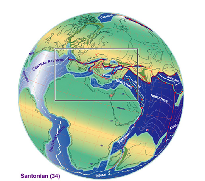
The African and Eurasian
plates began their major continental collision roughly 30 to
40 million years ago, pushing up the major mountain systems including
the Alps, the Pyrenees, the Atlas Mountains, and the Carpathian
Mountains |
Ice Age
The earth has continually cooled over the last 50 million years.
Gradually over millions of years permanent ice caps formed over
the poles. Beginning 2.6 million years ago (Pleistocene) the earth
witnessed up to 20 major (and up to 30 minor) glaciation periods.
During major glaciations ice covered up to 30% of the earth's
land surface. Early on the cycles repeated every 41,000 years
and later every 100,000 years with brief interglacial warming
periods with glacial recession of 10-15,000 years.
During the major glaciation periods ice filled major valleys up
to 1,500 to 1,700 meters thick. These valleys of ice merged into
a massive, interconnected system of ice carving out enormous U-shaped
valleys and shaping the mountain range into what it looks like
today.
Today Glacier ice stores about three-fourths of all the fresh
water in the world and covers about 11 percent of the world's
land area. The Alps contain roughly 3,000 to 4,000 glaciers, with
only about 600 large enough to have a measurable, stable volume.
The Aletsch Glacier is the largest
glacier in the Swiss Alps, spanning roughly 23 kilometers. Other
major surviving glaciers include the Gorner Glacier, Fiescher
Glacier, Unteraar Glacier, and Morteratsch Glacier. Glaciers in
the Alps act as essential natural water towers for Europe. They
provide critical runoff to major rivers like the Rhine, Rhône,
Po, and Danube, supplying freshwater for drinking, farming, and
hydroelectric power generation.
Our Backroads Tour
I only recently discovered Backroads, a company specializing in
active travel including Biking, Hiking & Walking, and Multi-Adventure
Trips in over 60 countries. They are based in Berkeley California
and have been around since 1979. Our tour guides were Milli and
Olivia, who were not only young and fit but extremely knowledgeable,
friendly, warm, helpful and fully motivated to make the trip a
memorable experience. James and I met up with the group and leaders
in Interlakin and what followed was 6 days of exhilarating hiking,
first rate hotels and food, thoughtful excursions and new friendships
with a group of people diverse in age and background.
Outline of our Trip
Flew into Zurich
Day 1: Meet at Interlakin. Shuttle to Adelboden where we stayed
at the Cambrian. Hiking: Adelboden Valley, Wildflower Trail. 4.2
miles, 500 foot elevation gain
Day 2: Shuttle to Kandersteg, Hiking: Gemmi pass, up to 6.9 miles,
1900 foot elevation gain, Gondola to Leukobad where we stayed
for two days at the Hotel Quellenhof.
Day 3: Hiking: up to 7.7 miles, 2200 foot elevation gain. Hike
in the Dala Valley and then up to Fluealp, a local cheese maker
in the mountains where we had a demonstration of classic Swiss
cheese making and a picnic lunch. Back to Leukobad
Day 4: Bus and Train to Zermatt. Hikes to Zmutt valley, Scharzsee,
up to 4.7 miles, 3200 foot elevation gain. Stayed at Grand Hotel
Zermatterhof for two days
Day 5: Hiking: to the top of Gornergrat. Up to 6.3 miles, 3500
foot elevation gain
Day 6: Hiking: Morning hike 2.8 miles, 700 foot elevation gain.
At this point our guided tour ended and James and I stayed in
Zermatt for another 3 days at the Beausite Zermatt, a lovely hotel.
Day 7: We took a train and Gondola to The Matterhorn Glacier Paradise,
Europe’s highest mountain station at 3,883 meters (12,740
feet) on the Klein Matterhorn in Zermatt, Switzerland
We both flew home from Zurich
The official Itinerary from backroads below
https://backroads_web.s3.us-east-1.amazonaws.com/travel_planner/SWA-W-HP-R-037-26.pdf